Skyline Wilderness Park Photos
Return to Skyline Wilderness Park
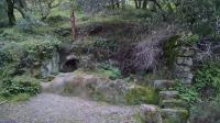
Some interesting ruins on the side of the trail. Appears to have been a shelter cut into the rock, featuring a wood stove in the back. (Photo by
Austin Explorer)
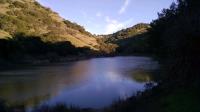
Lake Marie, where we got onto Lake Marie Road for the quickest route back to the trailhead. (Photo by
Austin Explorer)
Coppertone poses on a small rocky outcropping just off the trail. (Photo by
Austin Explorer)
Some switchbacks on the backside of Sugarloaf made descending easier. (Photo by
Austin Explorer)
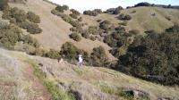
Coppertone descends down the steep backside of Sugarloaf Peak. (Photo by
Austin Explorer)
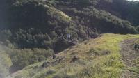
Two hikers descending down the Rim Rock Trail we had just come up. (Photo by
Austin Explorer)
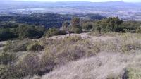
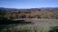
Looking west onto southern Napa and Sonoma counties. Marin County and San Pablo Bay can be seen to the left in the distance. (Photo by
Austin Explorer)
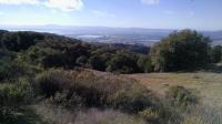
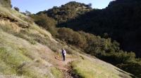
Looking back to Napa Valley on the trail as it hugs the steep hillside. (Photo by
Austin Explorer)
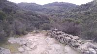
The trail passes by and something through a couple of old stone walls. (Photo by
Austin Explorer)
The aptly named Manzanita Trail ascends toward a peak beyond the one seen here. (Photo by
Austin Explorer)
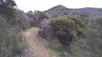
Manzanita Trail crossing a creek as it leaves the Disc Golf Area. (Photo by
Austin Explorer)
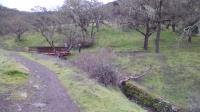
The water trough along Lake Marie Road featured many fish, which we did not expect! (Photo by
Austin Explorer)
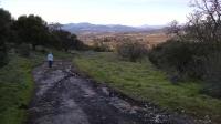
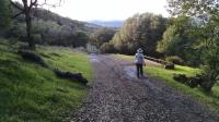
The wider Lake Marie Road makes for quicker hiking, but still provides views as it heads back toward the trailhead. (Photo by
Austin Explorer)
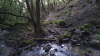
The hiking only Lower Marie Creek Trail features a couple of creek crossings like this one. (Photo by
Austin Explorer)
Coppertone ascending a steep section of the Chaparral Trail. (Photo by
Austin Explorer)
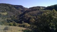
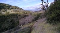
Looking to the other side of the Marie Creek valley from the Buckeye Trail. (Photo by
Austin Explorer)
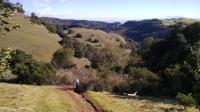
Looking back from the Buckeye Trail towards the trailhead offers one of the first vista views from the park. (Photo by
Austin Explorer)